Home Services Assets References contact us
 

Within the company’s scope of skills and competencies, AeroPrecisa has dedicated operations that continue to supply quality digital aerial photography and photogrammetric mapping, in addition to world-class services in the specific fields of:

  • Digital (or softcopy) photogrammetric solutions
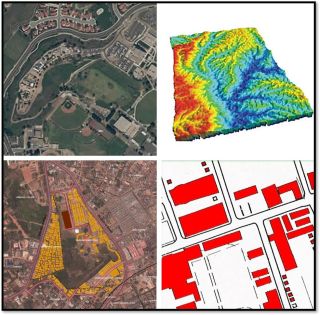
  • High resolution digital orthophoto production
  • High precision Digital Terrain Models (DTM) & contour lines
  • Geographic Information System (GIS) database creation and maintenance
  • Remote Sensing and High Resolution Satellite Imagery
  • Land and engineering surveying
  • GPS surveying solutions
  • Aerial survey navigation


Copyright © 2011 Aeroprecisa