Home Services Assets References contact us
 Recent References
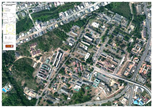
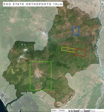
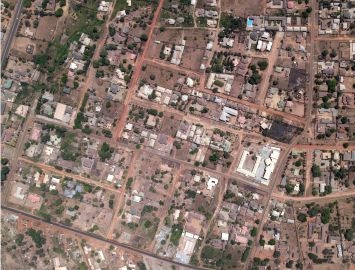
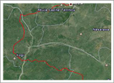
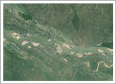
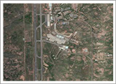
 Some of the most recent projects that were completed by AeroPrecisa:

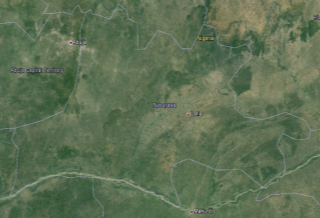
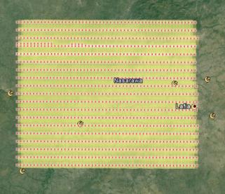
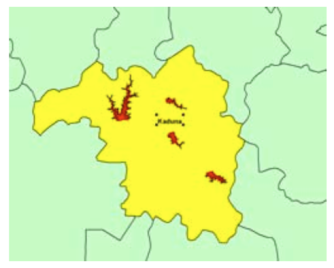
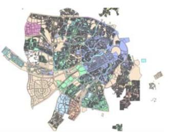
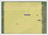
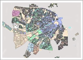
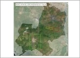
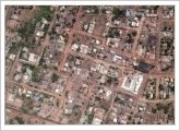
   Kaduna Geographic Information Service Phase 2 (KADGIS)
READ MORE >>
 
Cadastral System of Nasarawa State - NIGERIA
READ MORE >>
Abuja-Ajaokouta-Otupko Railway Line - NIGERIA
READ MORE >>
Loko-Oweto Bridge Design - NIGERIA
READ MORE >>
Abuja Airport - NIGERIA
READ MORE >>
 
Karu, Lafia, Nasarawa, Keffi, Akwanga, Domo Master Plan
READ MORE >>
Abuja-Bagana-Abijokolo Highway Design - NIGERIA
READ MORE >>
East West Railway Orthoimage Project - KSA
READ MORE >>
KADUNA Three Reservoirs Mapping - NIGERIA
READ MORE >>
 
Nasarawa Geographic Information System (NAGIS)
READ MORE >>
Nsork - Acurenam - Cogo Road Design – Equatorial Guinea
READ MORE >>
Kaduna Geographic Information Service (KADGIS)
READ MORE >>
Gombe Geographic Information System (GOGIS)
READ MORE >>
 
Oyo Geographic Information Service (OYOGIS)
READ MORE >>
Edo Geographic Information Service (EDOGIS)
READ MORE >>
Benue Geographic Information Service (BENGIS)
READ MORE >>

Copyright © 2011 Aeroprecisa


Client: Nasarawa State Government
Contract Value: $5,600,000 (Aerial component)

Aeroprecisa was commissioned by Nasarawa State to establish a cadastral system for the State. As part of the project, the whole sate of Nasarawa had to be flown at 20cm resolution and 2m contour lines had to be developed for the whole state. AeroPrecisa used its Vexcel Camera and Airplane to fly 28,000 Km2 of Land and our team developed the Orthophotos that are used by the Surveyors to establish the Cadastre in Nasarawa.
x


Client: Federal Ministry of Transport, Nigeria
Contract Value: $875,000 (Aerial Component)

The Federal Ministry of Transport awarded AeroPrecisa a contract for the design of the Abuja-Ajaokuta-Otupko Railway. As part of the design, AeroPrecisa conducted an aerial survey for the proposed alignment to generate 10cm orthophotos and 1m contour lines which were used to design the vertical and horizontal alignment of the Railway line.
x


Client: RCC Construction Company
Contract Value: $600,000

AeroPrecisa won a flying job for RCC for the survey of a large area across the Benue River in Nasarawa and Benue State. The purpose of the aerial images was the siting of the best location for constructing a 2Km bridge and for designing the access roads. 10cm aerial orthophotos and 1m contour lines were produced by AeroPrecisa for RCC to complete their siting and design works.
x


Client: Abuja Airport Authority
Contract Value: $55,000

AeroPrecisa flew the Abuja airport for the Abuja Airport Authority with 5cm resolution aerial images. The images had 80% forward overlap and 60% side overlap. The images were used to produce very accurate DTM and point cloud data for all the airport facilities as well as highly detailed orthophotos.
x


Client: Nasarawa State Government
Contract Value: $1,200,000 (Aerial component)

Aeroprecisa was commissioned by Nasarawa State to develop a Master Plan for 6 cities in Nasarawa. The 6 cities were flown at 10cm resolution and 50cm DTM was established for all of them. The orthophotos and the DTM were used for preparing the Master Plan and for designing all infrastructure including roads, drainage, water, and sewage in the cities,
x


Client: Federal Ministry of Work and Housing
Contract Value: $420,000 (Aerial component)

Aeroprecisa was awarded the contract for the design of a highway connecting Abuja to Abijokolo via Bagana. The road corridor of 1km width was flown by AeroPrecisa with a resolution of 10cm and orthophotos and 50cm contour lines were derived from the aerial photos. Those data was used to perform the detailed design of the highway.
x


Client: Saudi Railway - KSA Kingdom of Saudi Arabia
Contract Value: $1,420,000

Commissioned by the Saudi Railway Authority to conduct an aerial survey along the East West Railway line. New Camera Ultracam – D was used for the acquisition of digital aerial photography along a corridor of 1,200 km2. Differential GCP points were collected prior to the collection process. The airplane was equipped with an IMU device in order to decrease the number of DGPS points required for the orthorectification of the scenes. Level 3 scenes were imported into Socet set photogrammetric workstation, 60 DGPS points were used. A DTM with 1M grid spacing was generated. True ortho imagery were generated for the whole area.
x


Client: Dar Al Handasah - Nigeria Kaduna Government
Contract Value: $700,000

Commissioned by Dar Al Handasah (Shair& Partners) to conduct an Aerial Survey over three reservoir areas in Kaduna state, Nigeria. The aim of the project was to map the three reservoir areas for further design purposes for building Dams in the three areas. Vexcel Ultracam-X camera was used for the project. DGCP points were collected over the three areas for the triangulation process. 1m contour lines and seamless orthophoto imagery were produced for the three reservoirs.
x


Client: Nasarawa State - Nigeria
Contract Value: $15,600,000

The project involved acquiring aerial photos for the whole state, digitizing parcels, ground surveying parcels, building a GIS system for capturing all information and issuing Land Titles to Land owners. www.Nagis.org
x


Client: ARG Ltd, Brazil
Contract Value: $435,000

ARG commissioned AeroPrecisa for the task of collecting LIDAR aerial data as well as optical images for the design of a highway along the Equatorial Guinea-Gabon Border. A helicopter was used for this assignment equipped with a LIDAR and 60Mpixel optical camera. Accurate DTM was generate for the heavily forested area in addition to 20cm orthophotos that were used by ARG for conducting the highway design.
x


Client: Kaduna State, Nigeria
Contract Value: $11,000,000

The project involved acquiring aerial photos for the whole state,total of 46,000 sq.Km, digitizing parcels, ground surveying parcels, building a GIS system for capturing all information and issuing Land Titles to Land owners. www.KADGIS.org
x


Client: Gombe State, Nigeria
Contract Value: $2,500,000

The project involved generating a digital 10cm GSD ortho-photo coverage for Gombe City, digitizing parcels, ground surveying parcels, building a GIS system for capturing all information and issuing Land Titles to Land owners.
x


Client: Oyo State, Nigeria
Contract Value: $5,000,000

The project involved acquiring aerial photos for 6 Major Towns in Oyo State, for a total area of 3,000 sq.Km, digitizing parcels, ground surveying parcels, building a GIS system for capturing all information and issuing Land Titles to Land owners.
x


Client: Edo State, Nigeria
Contract Value: $10,000,000

The project involved acquiring aerial photos for around 20,000 sq.Km in Edo state, digitizing parcels, ground surveying parcels, building a GIS system for capturing all information and issuing Land Titles to Land owners.
x


Client: Benue State, Nigeria
Contract Value: $18,000,000

The project involved acquiring aerial photos for the whole state 34,000 sq.Km, digitizing parcels, ground surveying parcels, building a GIS system for capturing all information and issuing Land Titles to Land owners.
x


Client: Kaduna State, Nigeria
Contract Value: $000,000

The project involved acquiring aerial photos for the whole state, digitizing parcels, ground surveying parcels, building a GIS system for capturing all information and issuing Land Titles to Land owners.
x